The interactive map on this page shows our proposed route for the new overhead line, the existing overhead lines to be uprated, and the substations we need to extend.
SP Energy Networks (SPEN) worked with environmental consultants to identify potential routes for the new overhead line between Bonnybridge and the existing Easterhouse-Newarthill overhead line near Glenmavis.
We appraised each option for its impact on a range of criteria including local views, the character of the landscape, biodiversity, forestry, cultural heritage and flood risk and other land uses.
In February 2025 we consulted local people and stakeholder on our preferred route (a swathe of land within which an overhead line could be installed), the one that we believe achieves the best balance between technical requirements and minimising the impact on the environment and the people, who live, work and enjoy spending time in the area.
Taking account of feedback received, along with further technical and environmental assessments, we have now identified a detailed alignment for the proposed new overhead line, including potential locations for towers, access routes and working areas. We have also identified access routes and working areas for the existing overhead lines that need to be uprated.
Denny To Wishaw OHL project interactive map.
To see individual tower numbers to help inform your feedback, please click on the relevant tower on the interactive map.
The proposed route leaves Bonnybridge substation and crosses the Antonine Wall at a location that minimises potential effects on the World Heritage Site. It passes east of Rough Castle, using dips in the landscape and screening, provided by existing trees, to reduce visibility in the landscape.
It then passes west of the Slamannan Plateau Special Protection Area (SPA) and crosses Palacerigg Country Park. We can’t avoid crossing the park because of the need to avoid the SPA and nearby homes on the edge of Cumbernauld, but we will use the landscape and mature trees to screen the new line from views as much as possible.
A ‘spur’ from the new line to Cumbernauld substation will allow us to remove the existing 11km 132kV overhead line (CB route) in its entirety between Bonnybridge and Cumbernauld.

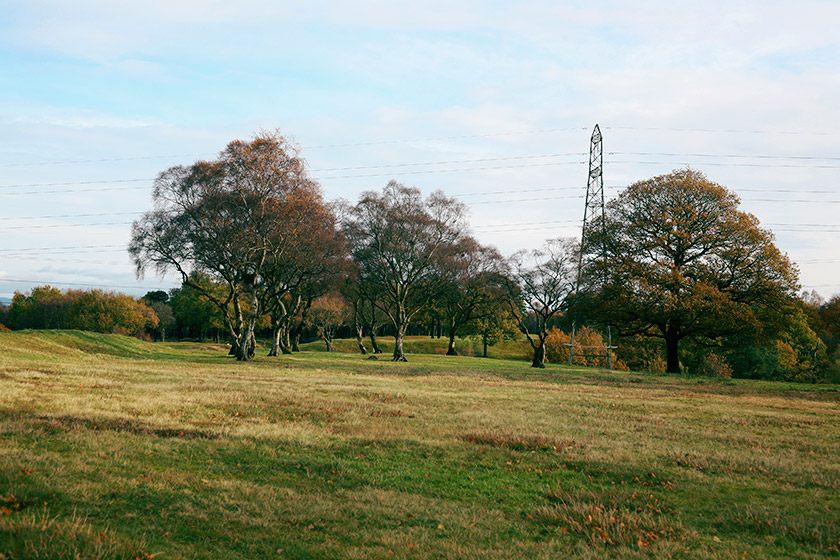
Above: Existing 132kV line crossing the Antonine Wall
The route then avoids the Community Growth Areas and planned development north of Airdrie and east of the A73, before terminating at a point near Glenmavis where it joins on to the existing Easterhouse-Newarthill overhead transmission line. A new ‘tee-in’ section will be created at this point, allowing us to move the existing XX overhead line away from residential properties at Grantown Gardens and Eden Court.
You can find full details of the route and the alternatives we considered, the routeing strategy and the findings of our options appraisal process, in the Routeing and Consultation Document, along with the Preferred Route Option – Update Report which explains how we have modified the proposals since they were first presented in 2021.
The “Approach to Routeing” document explains how we develop our plans and take account of landscape features and local communities.